
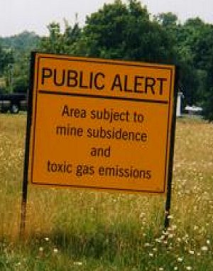


| If you come towards Centralia from Ashland (south), this sign will be the first notice that you're nearing Centralia. This is the detour for old route 61, which leads you around the "damaged" part of the highway. |
|
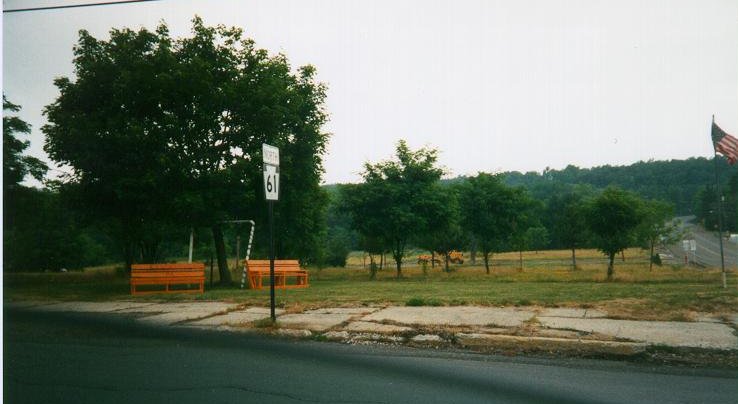
| On the other hand, if you approach Centralia from the west via 61, you'll probably run right into town without realizing it. Look for the crossroads with the "Welcome to Centralia" benches on your left and the bike shop to the left. | |
| And if you're lucky enough to be coming from the east, you'll be treated to this sign. For some reason, the other (busier) ways into town aren't similarly marked. | |
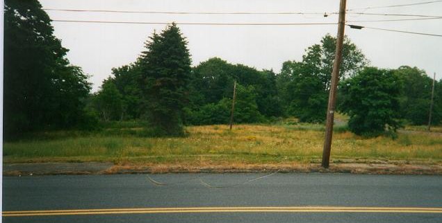
| Something which can throw off a visitor the first time is that one would expect the entire town to be one huge smoking crater. It's not like that for the most part. With most of the people gone, the wildlife has moved back in, and you get a pretty green scene, especially in summer |
|
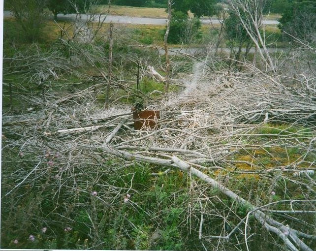
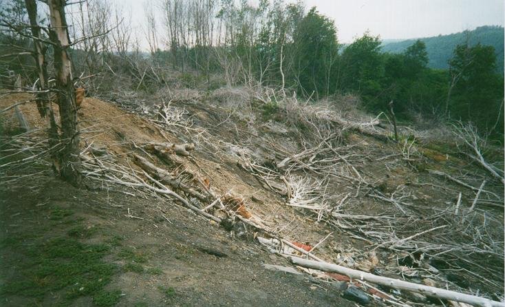
| However, don't let that dissuade you. Following Mike Scholtes' online directions, I parked the car and walked towards the cemetary along a gravel road, and was rewarded with a first scene of devastation (sorry, photo didn't come out, but the following photos give you an idea what to look for). As you walk along the road, the hill area to your right is burned considerably. Note the smoke rising from the rusted barrel in the center. Even in the summer, the air in this area still smells burned and sulphoric. | |
| More photos from the gravel road at the top of the hill. Note the condition of the trees in left foreground. | |
| I assume this was the location of the old garbage dump where the fire originally started. At this point, the gravel road takes a Y; the road to the left (which I followed) leads to what looked like a Greek Orthodox cemetery, located behind the main town cemetary; for those wanting more, the gravel road continues along to what looked like more burned areas further back. | |
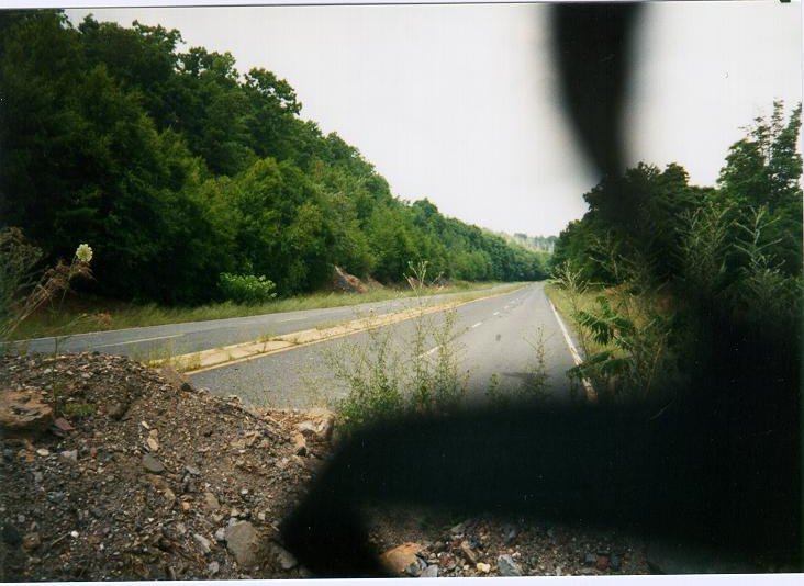
| Back to old route 61. If you compare these photos to some earlier ones on Roadside America's site, you'll notice that the detour fences have been replaced by a gravel barrier. Guess they needed the fences for something else... | |
| What you can see better in this photo is the concrete filler in the center of the highway. I walked a little ways along both the top and bottom of old route 61, and couldn't find any significant cracks; either they're further down the road, or when the gravel barriers were put in, the Powers that Be decided to put in the concrete covers over the cracks. Or I just missed 'em. (Looks like I did; check here for an idea what to look for) | |
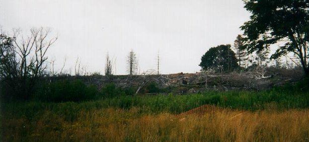
| This is an picture of the 'burned' hill I took the two photos above from, looking up at it. | |
| Finally, for those looking for ruins, when you take the 61 detour back to Ashland, you'll past this interesting abandoned structure. From an email I recieved from an ex-resident: "(This building) houses ashes for the highway, at one time it was the wash house and lamp house for Germantown Colliery. It was also the boiler house. This was called Locust Run Colliery." Another local writes: "The last photo on your page which you called some kind of factory is the old Byrnesville wash house which was used by the miners of the nearby mine to shower and get ready to return to their homes for the day." | |
If you do visit Centralia, have a good time!
Offroaders.com Centralia photos archive
Centralia PA "official"(?) website
Roadside
America's Centralia PA guide
Place Taste and the Taste of Place: Centralia PA
5/3/98
Tribune-Review article about Centralia
 E-Mail:
tagryn@hotmail.com
E-Mail:
tagryn@hotmail.com